FeatureFEATURE · VOL.0
Autumn Roads to Drive Before Winter Closes Them
Shiga-Kusatsu tops out at 2,172 m, the highest point on any national road; Mugikusa Pass at 2,127 m; the Fujinomiya fifth station near 2,400 m. Teraha Gorge strings out eleven falls named by a haiku poet, and Mt. Hangetsu looks straight down on Lake Chuzenji. Six roads that close for winter, each with its own story. Teraha closes first, on Nov 5.
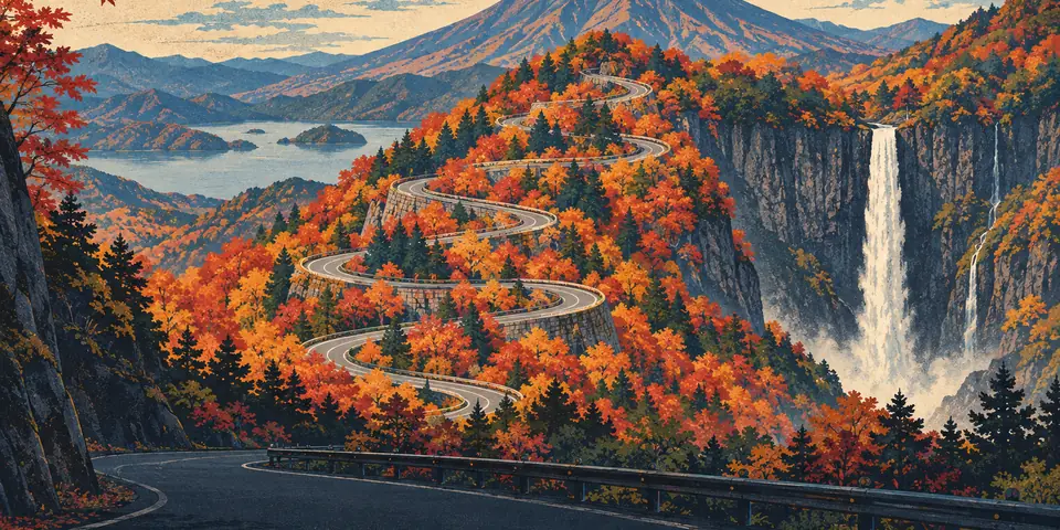
Cover illustration: APEX DRIVE (original) Original illustration, not a picture of a specific place.
01In seasonGunma · Minakami Town
Autumn leaves at Teraha Gorge (Route 63)
A mountain road along the Yunokoya River, past eleven falls a poet named.
Every waterfall in Teraha Gorge has a name: Senryu, Iwana, Hakuryu, Yamabiko, Hisui, Kodama, Tsuzumi, Fudan, Shigure, Konomi and Higurashi. The haiku poet Mizuhara Shuoshi gave all eleven their names, and they are spread over roughly 5 km of the Yunokoya River.
02RoadGunma · Kusatsu Town and Nakanojo Town
Shiga-Kusatsu Road (Route 292) before winter closure
A national road that takes you, still behind the wheel, above the height where trees can grow.
At 2,172 meters, this is the highest point on Japan's national road network, and you can drive all the way up from Kusatsu. Even the plateau under Kusatsu Onsen was laid down by a huge pyroclastic flow from Mt. Shirane some 300,000 to 350,000 years ago.
03RoadNagano · Suwa City, Shimosuwa Town and Nagawa Town
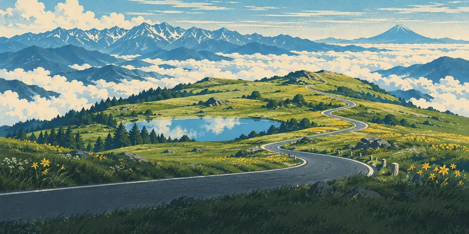
Venus Line before its winter closure
75.2 km climbing from Tateshina past Shirakaba Lake and Kirigamine to Utsukushigahara at about 2,000 m.
The Venus Line runs 75.2 km from the Gozaishi Shrine intersection in Chino to near the Utsukushigahara Open-Air Museum. From the Chino end you climb through Tateshina, past Shirakaba and Megami lakes, over Kirigamine, and finish on the Utsukushigahara Plateau at about 2,000 meters. Lookouts along the way take in the Yatsugatake range, the Alps, Mount Asama and Mount Fuji.
04RoadNagano · Chino City and Sakuho Town
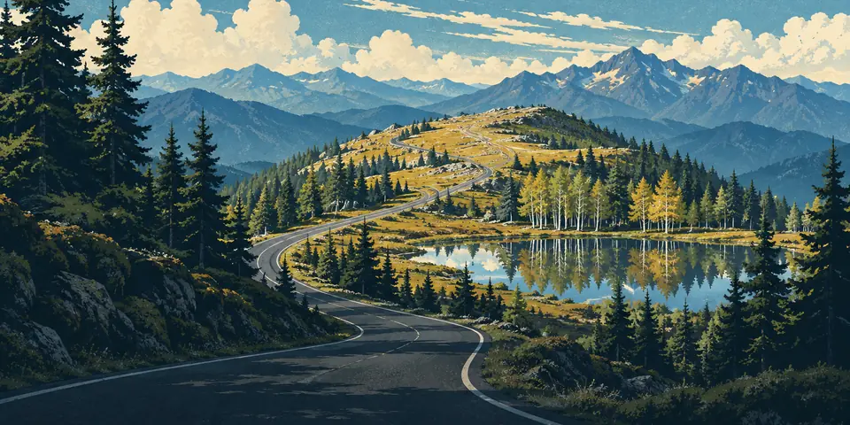
Mugikusa Pass (Route 299) before its winter closure
A national-road pass at 2,127 m, with a moss-forest lake a 15-minute walk away.
Mugikusa Pass stands at 2,127 meters. Route 299, nicknamed the Marchen Kaido, climbs from Chino over the northern Yatsugatake and descends from here toward Sakuho. The road's spring reopening ceremony is held at the pass; 2025 marked the 38th, hosted by a council of tourism groups from Chino, Koumi and Sakuho.
05RoadShizuoka · Fujinomiya City, Susono City and Gotemba City
Fujisan Skyline (autumn color before the winter closure)
Drive all the way to the 5th Station, billed as Japan's highest point reachable by private car.
Formally the Omote-Fuji Shuyu Road, it climbs, says the Fujinomiya tourism association, to the Fujinomiya 5th Station at about 2,400 meters, Japan's highest point reachable by private car.
06RoadTochigi · Nikko City
Lake Chuzenji Skyline to Mt. Hangetsu
Climb from the shore and see the lake you just drove beside from high above.
From the lookout, Mt. Nantai rises beyond the Hatchodeshima peninsula jutting into Lake Chuzenji, with Senjogahara and Mt. Shirane farther off. The road that takes you there is the Lake Chuzenji Skyline, officially Prefectural Road Chugushi–Ashio.